Since Friday 20 December, dozens of drones have been seen flying in formation and operating in grid patterns over northeastern Colorado and a small slice of western Nebraska. (See here as well.)
The area the drones are flying in is very sparsely populated. Initially, witnesses reported as many as 16 drones at a time, but more recent reports have included a drone count of 30 flying together. The area of operation now includes five Colorado counties (Sedgewick, Phillips, Yuma, Washington, and Lincoln) and one in Nebraska (Deuel, a small county in the southeast of the panhandle. See maps).
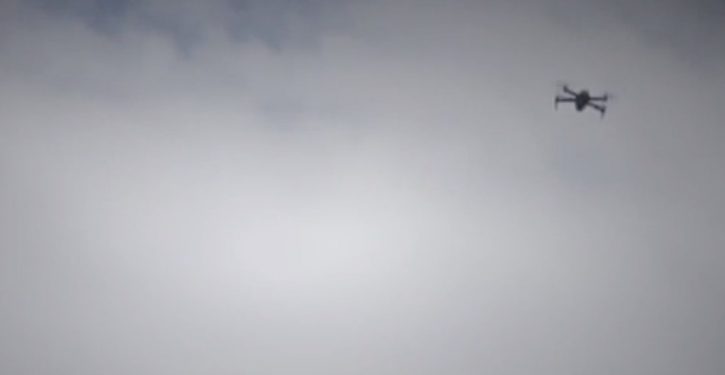
Originally, the report of “wingspan” size (approximately six feet) suggested the drones were fixed-wing aircraft. However, a video incorporated in a Denver area TV update on the drones seems to indicate they are rotary wing drones (which would make them quite large for their type).

It isn’t clear if the video is of one of the actual drones, but the witnesses say the drones are flying at night, and are seen with lights of multiple hues that apparently sometimes go off. As the ABC 7 Denver report notes, the FAA only allows civilian drone operation during daylight hours:
The Federal Aviation Administration limits drones to daytime operations — from one half hour before sunrise to one half hour after sunset.
When asked if the FAA has detected any drones in the area, and whether anyone has applied for a waiver to fly at night, FAA public affairs representative Rick Breitenfeldt said, “I checked. No FAA drone reports in Colorado matching this location or description.”
The FAA’s disclaimer about the drones has been echoed by other authorities. The county sheriffs are stumped, and the “FAA, Air Force, DEA, U.S. Army Forces Command and other authorities maintain they’re not involved.”
The sheriffs say they haven’t seen a reason to worry about public safety. Tyler Rogoway notes at The Drive that the waiver requirement cited and the nighttime regulations apply to drones weighing less than 55 pounds, which may not be the case with these drones as they are unusually large.
But the drones are flying outside of FAA cognizance.
Says Phillips County Sheriff Thomas Elliot: “They’ve been doing a grid search, a grid pattern. They fly one square and then they fly another square.” Elliott says at least 17 drones fly between 7 and 10 PM (each night through 27 December, the latest detailed report), at altitudes between 200-300 feet. The Lincoln County sheriff has reports of 6, 12, or up to 30 drones flying together, sometimes in groups of three or four. In one case, a single drone appeared to hover in one place while other drones showed grid pattern movements.
Sheriff Elliott says he doesn’t need more notifications that drones are flying. But he’d like to know if anyone figures out who’s operating them, or where they land.
From the Denver Post:
Elliott said Monday that the sheriff’s office has received nine calls about the drones since last week. He said residents no longer need to call to report a simple sighting of the drones.
“We just want to know if one lands, if we can get our hands on it, or if they see someone operating them, that’s what we’re looking for now,” he said. “We know they exist.”
And that’s actually what strikes me as curious. Why wait until a random civilian sees one of the drones land? Government authorities can follow the drones using helicopters more easily than anyone else can. If the FAA, the military, the DEA, etc. really don’t know whose drones these are, or what is being done with them, it seems odd that only the county sheriffs would care to find out, and that it would be their first resort to ask for civilian reports on the matter.
Quite honestly, I suspect “we” do know whose drones these are and what they’re doing. That doesn’t mean it’s anything nefarious. It would be silly to assume it’s some conspiracy against the public. But it may be something government is aware of – perhaps sponsoring – that the public isn’t being told about at the moment.
A few maps below show the general area of the drone operations in relation to some types of surveillance targets commentators have speculated about.
It’s interesting to note that the Colorado counties where the drones are operating overlap air traffic control zones for four airfields in rural northeastern Colorado, and the Deuel County location in Nebraska is adjacent to another one. That doesn’t seem on its face to be significant, since (a) we don’t know exactly where the drones are flying; and (b) there are nine other zones, within a relatively short distance, surrounding the ones mentioned. But it’s worth calling out, as the drone sighting areas seem to trace a pattern overlapping a key aviation-related feature of the general area.

https://www.iflightplanner.com/aviationcharts/
Some commentators have suggested a connection to military installations in the area. This map isn’t high resolution, but it does show that the installations are located to the west of the drone sighting areas. (The small annotations in black are labels; the actual installations are west of them in the yellow shaded area.)

This map of a key geological vulnerability feature is informational (some have mentioned it), but I doubt more than that. It seems probable that it would take aircraft capable of carrying more weight to do meaningful geological mapping tasks.

It remains a puzzlement.