The last time we caught up with Boston and map-based musings – admittedly a somewhat specialized topic – the Boston public schools were endeavoring to fight the scourge of racist map projections.
That actually adds a dollop of melancholy to the most recent eruption from Beantown, because it appears to the unaided eye that the Globe is using a racist map projection to illustrate its point about the upcoming solar eclipse. The map in the Globe’s story looks like a Lambert Conformal projection, which presumably is not as bad as a Mercator. But it fails to show that Africa is bigger than North America. Apparently they still have work to do, racist-map-projection-wise, there in the crown jewel of the Bay State.
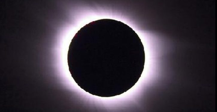
But the news you can really use is that the Globe’s Matt Rocheleau has taken a hard look at the projected path of the solar eclipse coming up on 21 August, and determined that it’s nearly free of counties won by Hillary Clinton in 2016.

I’m going to assume that the Globe’s tongue is planted firmly in its cheek here, because the alternative is unbearable:
Is the eclipse throwing shade at Clinton supporters?
The path of ideal viewing spots for this month’s highly-anticipated total solar eclipse cuts overwhelmingly through places that voted for President Trump in November.
There are about 240 counties roughly along the central path of the eclipse, a 70-mile-wide trail extending across the country where people will be able to see a total eclipse, meaning the sun will appear completely obscured by the moon.
And about 92 percent of those counties swung in Trump’s favor, while fewer than two dozen counties voted for his opponent, Hillary Clinton.
I note that thoughtful people could have predicted that pretty accurately without doing the research. The eclipse’s path of visibility moves on an east-west orientation across the Lower 48. Presto: mostly Trump country. The percentage of Hillary counties might increase on a handful of alternative paths, either north or south of the path for 21 August, but it would still be a relatively small percentage.

If the earth were somehow tilted to put the sun’s “path” on what is now a north-south orientation, the visibility swath of the eclipse could cut through a gratifyingly large percentage of blue counties. To do that, the swath would have to run over the East or West coast.
The glaring “duh” quality of the insight here gives one to wonder. Still stipulating tongue in cheek: is it possible that the Globe’s article was published mainly because the “eclipse across red/blue counties” hook – however thin – was an opportunity to bring up Hillary, Trump, and the 2016 election?
If so, to what end? We could make points about the coming eclipse for equally good reason by linking it to towel charms, automotive radiator caps, the paintings of Mary Cassatt, or nuclear-powered submarines.
Well, we may never know what the motive was. Meanwhile, my own reaction to seeing the map was, “Wow, there were that many blue counties in South Carolina?”